Agriculture & soil
Establish a farm baseline, review management practices and identify the field evidence needed to evaluate change.

Spatial analysis, field sampling design and carbon accounting workflows for agriculture, forestry and environmental projects. We define the evidence, methods and reporting requirements around your decision.
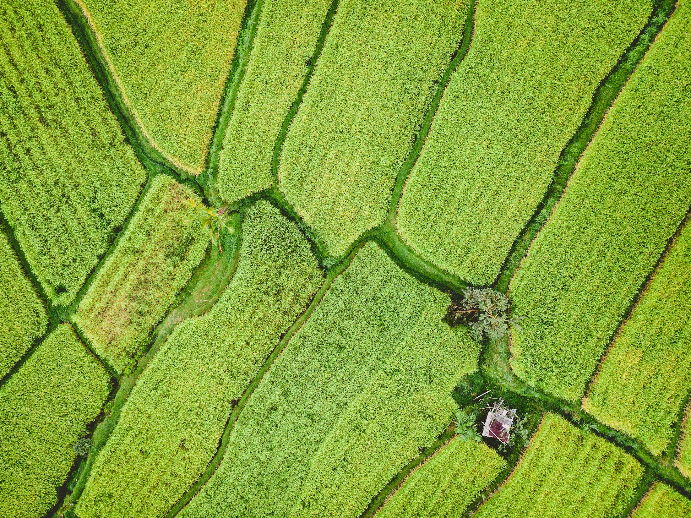
Environmental questions are specific to a place.
So is the evidence needed to answer them.
Project scopes can include baseline assessments, data-gap reviews, sampling plans and reporting frameworks. Methods and deliverables are agreed for each engagement.
Establish a farm baseline, review management practices and identify the field evidence needed to evaluate change.
Define accounting boundaries, organise emissions and stock data, and select indicators for nature monitoring.
Plan land-cover and ecosystem assessments using suitable imagery, historical records and local observations.
Scope climate-risk studies, life cycle assessments and transition plans around your operational decisions.
A workspace for your land
and its environmental evidence.
Define a parcel, review its historical land cover, and prepare a soil or biomass sampling plan. Keep carbon calculations and reporting alongside the project.
Open Landi ↗Land & carbon workspace · English interfaceParcel boundaries · ten-year land-cover history
Environmental indicators and configurable scores
Soil and biomass sampling · location plans
Budgets · emissions and stock-change accounting
Maps / Sampling coordinates / Budgets / Reports
Planning and screening tools. Results require suitable evidence and review; they are not certified inventories or carbon credits.
The method follows the question. We make data gaps, assumptions and practical constraints visible from the start.
Agree on the location, project boundary, intended use and questions the assessment needs to answer.
Review available datasets and field records. Identify missing observations and suitable measurement methods.
Assess relevant scenarios and trade-offs, with assumptions and uncertainty documented.
Bring the findings into a report, monitoring plan or digital workflow that can be reviewed and updated.
One Planet Vision brings together environmental technology, data analysis and sustainability consulting.
Our work spans agriculture, forests, carbon, biodiversity and climate. We develop tools and project approaches that connect environmental information with the decisions organisations need to make.
Engagements are scoped around the place, available evidence and intended outcome — from an initial data review to a tailored assessment or monitoring workflow.
We welcome project discussions with research teams, data providers and field practitioners. Collaboration is scoped around a defined question and agreed responsibilities.
Discuss study design, indicator selection, model evaluation and the interpretation of environmental evidence.
Explore spatial datasets, interoperability and digital workflows, with clear licensing and data-quality requirements.
Discuss sampling logistics, laboratory analysis, ground observations and traceability of field records.
Have a specific dataset, research question or field project in mind?